Why We Invested in VyomIC
For BYT Capital, investing in VyomIC is not about backing a space startup. It is about backing India’s sovereign future.
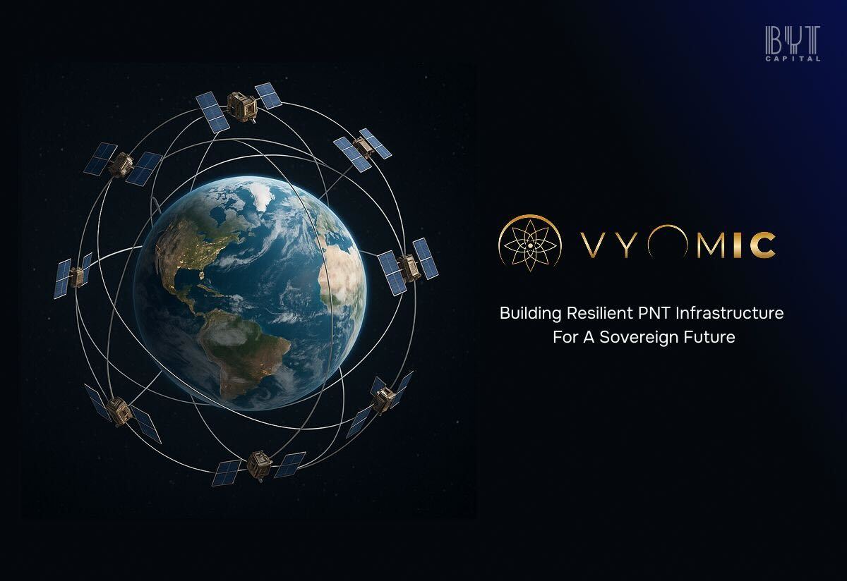
Building India’s Sovereign Future in Navigation, Timing & Autonomy
Every few decades, technology reaches an inflection point where infrastructure, silent, invisible, foundational, must evolve. Electricity grids did it. Internet backbones did it. Today, Positioning, Navigation & Timing (PNT) is at that moment.
In 1999, at the height of the Kargil War, the Indian Army urgently needed high-accuracy GPS data for operations in treacherous Himalayan terrain. The United States, acting entirely within its sovereign rights, declined to provide the precise, encrypted military-grade signal. India was given only coarse, degraded coordinates, inaccurate enough to limit operational clarity at a moment when every metre mattered. It wasn’t hostility. It was geopolitics. And it left behind a lesson that India still carries today: a nation that does not own its navigation backbone must live with the uncertainty of another’s choices.
What makes this lesson even sharper is that it didn’t end in 1999; it only became more visible as the world grew more dependent on GPS.
Through the 2000s and 2010s, DRDO missile tests in the Bay of Bengal routinely encountered inexplicable GPS drops, forcing India’s engineers to fall back on inertial systems and radar telemetry. In the Arabian Sea, naval ships operating near U.S. and coalition missions saw GPS accuracy degrade whenever theatre-level scrambling was activated. Indian forces were not targeted, but they were exposed to the collateral fragility of a system we do not control.
Then came the age of spoofing and “fake skies.” By the late 2010s, aircraft flying near West Asia reported sudden jumps in GPS coordinates, altitude anomalies, and phantom waypoints. Cargo ships in the Persian Gulf and Mediterranean found their navigation systems placing them inside airports, deserts, or hundreds of kilometres off course. Russian “maskirovka” and Chinese navigation camouflage created entire zones where satellites seemed to lie. Indian commercial aircraft transiting these regions documented GNSS irregularities that could no longer be dismissed as weather or coincidence.
By 2020, this vulnerability reached our own neighbourhood. During the standoff in Eastern Ladakh, Indian units reported unstable GNSS behaviour as a result of targeted jamming and localized spoofing across the LAC. Once again, India wasn’t denied GPS by the United States; instead, it witnessed how volatile navigation can become when global or regional powers decide to bend the electromagnetic environment. If the sky itself can be falsified, then depending on someone else’s satellites isn’t just inconvenient, it's dangerous.
Across aviation, maritime operations, power-grid timing, drone corridors, high-frequency trading, and even everyday logistics, the message has become unavoidable: GPS is now contested, spoofed, jammed, manipulated, and politically governed. In a world where autonomous vehicles, UGVs, drones, and smart infrastructure demand centimetre-level accuracy and millisecond integrity, relying on a foreign constellation is not just outdated, it is reckless.
This is the geopolitical, technological, and strategic reality in which we encountered VyomIC. And it became immediately clear that they are not trying to “improve GPS.” They are building the system India should have had in 1999, the system we repeatedly discovered we lacked between 2000 and 2020, and the system we absolutely must own before autonomy, defence modernisation, and critical infrastructure move into full acceleration.
After two decades of watching GPS degrade, drift, disappear, and even be deliberately falsified in contested regions, it’s clear the world has outgrown the Cold War navigation architecture it still depends on. For forty years, GNSS constellations like GPS, Galileo, GLONASS and BeiDou have acted as the silent scaffolding beneath global commerce and security. They were built for an era when guiding missiles and ships was the primary requirement, not coordinating fleets of autonomous drones, securing a decentralized financial system, stabilizing a 5G/6G telecom backbone, or synchronizing the timing pulses of a national power grid.
Today, these legacy systems are showing their age. Signals meant for open skies struggle in the shadow of high-rises, industrial corridors, bridges, ports and mines. Accuracy collapses in dense metros. Jamming equipment the size of a briefcase can cripple an entire region. Spoofers can generate “ghost skies,” tricking aircraft, ships, UAVs and ground vehicles into believing they are somewhere else entirely. And because GNSS timing underpins everything from HFT trading to fault isolation in power networks, even a few seconds of disruption can ripple across an entire economy.
We built the world’s most ambitious digital and autonomous infrastructure on technology designed in the 1980s. And, as geopolitical tensions intensify, the idea that India or any emerging global power should rely on foreign-controlled signals for its most critical systems is not merely outdated. It is unsafe.
India sits at the front edge of this vulnerability. NavIC has made meaningful strides, but it was never designed to replace GPS across every axis of integrity, update rate, resilience or timing. It struggles to serve high-precision autonomous mobility, drone corridors, factories, underground operations, or telecom timing at a national scale. What India lacks is not a supplement to GNSS, but a new navigation architecture, one that is sovereign, low-latency, jam-resistant, encrypted, urban-native, and built for autonomous machines rather than handheld receivers.
This is the gap VyomIC steps into and this is precisely why their work resonated so strongly with us.

VyomIC is not trying to out-GPS GPS. They are building the next layer of navigation altogether: a sovereign LEO-PNT constellation that redefines accuracy, resilience and integrity for an India that is rapidly automating its skies, its logistics, its defence posture, and its infrastructure. Their satellites operate closer to Earth, with stronger signals and richer Doppler signatures. Their AI-driven orbit solutions achieve precision that traditionally requires far larger fleets. Their timing layer is anchored not to GPS but to chip-scale atomic clocks under India’s control. Their receivers blend GNSS, LEO, inertial sensors, RF beacons and machine-learning inference so they continue to operate even where satellite visibility collapses.
And their reinvention of Real-Time Kinematics is what truly sets them apart. Classical RTK was built for surveyors standing still in open fields; VyomIC’s RTK is engineered for autonomous robots, drones, UGVs, mining machinery and urban air mobility navigating dynamic, jam-prone, multipath-heavy environments. Integer ambiguities resolve faster because the LEO Doppler is leveraged rather than filtered out. Correction data arrives with sub-50 millisecond latency, enabling real-time adaptation. Ambiguity resolution is hardened through ML models trained on real urban chaos rather than sanitized lab datasets. And, critically, the entire correction chain is sovereign, with no foreign integrity channels, no external choke points.
The significance of this became uncomfortably clear when we revisited the lessons of 1999; that moment did not occur in anger; it occurred because sovereign systems serve sovereign interests. But its implications were profound: India’s battlefield uncertainty was, in part, a consequence of its dependency.
Even today, despite NavIC, the same structural vulnerability lingers. India’s telecom networks, timing systems, drones, ports, logistics chains, aircraft, and even critical defence platforms rely on GPS as a timing and positioning backbone. A geopolitical flare-up in the Indo-Pacific, a theatre-level jamming event, a denial of precise timing, or simply a prioritization decision by another nation’s defence establishment could leave India navigating blind at precisely the moment when precision matters most. Sovereignty in navigation is not a ceremonial concept; it is the difference between autonomy and strategic dependence.
This is why we believe the next decade will be defined by sovereign PNT layers, multi-orbit augmentation, timing independence, and defensible navigation infrastructure. And it is why VyomIC’s mission is not just timely, it is essential. They are building the backbone India lacked at Kargil, the one it still relies on others for today, and the one it will absolutely require in a world shaped by drones, autonomous systems, contested skies, and the geopolitics of invisible signals.
For BYT Capital, investing in VyomIC is not about backing a space startup. It is about backing India’s sovereign future. This technology is not a feature. It is infrastructure. It is security. It is independence. It is the foundation upon which the next fifty years of India’s digital and defence capability will rest.
That is why we invested.

Get a front-row seat to India’s deep-tech innovation
Receive the best of BYT’s analysis and updates, straight to your inbox